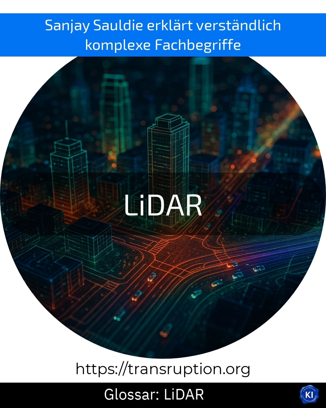
LiDAR is at home in the fields of drone technology, automation and Industry 4.0. The abbreviation LiDAR stands for "Light Detection and Ranging". It is a technology that uses laser light to measure the distance to an object or surface very accurately.
A LiDAR system emits short light pulses that hit surfaces and are reflected back. The time it takes for the light to travel there and back is measured. From this, the system calculates the exact distance. Many such measurements together result in a very detailed, digital image of the surroundings - similar to a 3D map.
An illustrative example: drones with LiDAR scan forests or building sites. This can be used to determine how high buildings are, how dense a forest is or how a site is shaped. In automation, LiDAR sensors help self-driving cars to recognise obstacles at an early stage and react safely.
With its precise data, LiDAR helps to make processes safer, more efficient and more sustainable. Many innovative applications in industry and research would be inconceivable without this technology.


